


Getting To The Outer Banks
Directions to join us on the Outer Banks by plane, ferry, or car.
Below you will find directions to get yourself safely to your vacation rental and to whatever adventures lie in store for you once you arrive. So, how do you get here?
Flying To The Outer Banks
The maps below show directions from ORF airport as well as two of the local private airports to the Carolina Designs office; however, it is not necessary to check in at our office. You will receive an email confirmation prior to your arrival with full entry instructions.
From Norfolk (ORF), The Closest Airport To The Outer Banks
If you’re flying to the Outer Banks, then the closest airport is the Norfolk International Airport (ORF). From there, you’ll need to:
- Get on the I-64 E from Norview Ave.
- After 12.2 miles, take exit 291B merging onto I-464/VA-168 S towards US-17 S.
- Continue onto Va-168 S for 63.5 miles (it will have turned into US-158 E about halfway through).
- Transportation from the Norfolk International Airport is available: Outer Banks Transportation Services, Island Limousine, Horseless Carriage Limousine, Uber, and Lyft are a few we recommend to our guests.
In addition, there are two private airports that guests can fly into. They are:
Currituck County Regional Airport
Dare County Regional Airport
Driving To The Outer Banks
Traffic to the Outer Banks is often challenging during the busy summer season, especially on Saturdays from noon until 6:00pm. Those guests reserving homes in the towns of Nags Head and Kill Devil Hills should consider taking an alternate route. Although longer in miles, these options may actually save you time due to less traffic congestion, and you get to discover the unique beauty of our Inner Banks.
Check the maps below for alternate route options to the Outer Banks:
From or through Richmond, VA – (Alternate 1): 4 hours and 14 minutes – 243 miles of mixed road types, some scenic and rural:
From or through Richmond, VA – (Alternate 2): 4 hours and 38 minutes, 282 miles of mostly large roads and Interstate:
From or through Virginia’s Eastern Shore or Hampton Roads – (Alternate): 2 hours and 53 minutes, 156 miles of mixed road types, some scenic and rural:
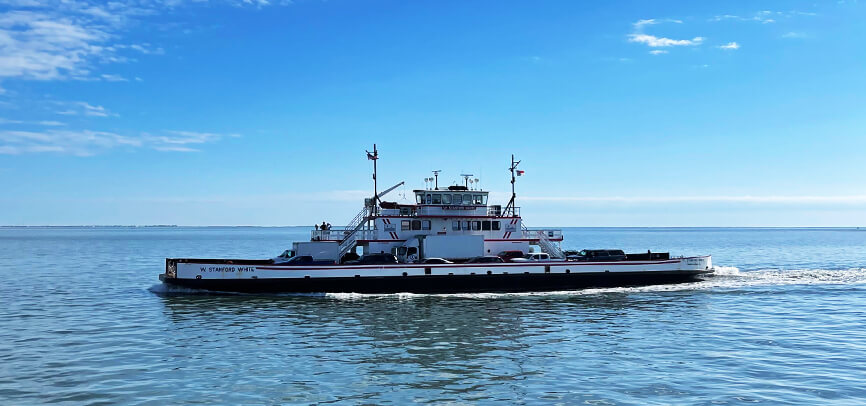
Ferrying To The Outer Banks
A free ferry system links the island of Ocracoke to Hatteras, and a ferry system with tolls connects Swan Quarter and Cedar Island to Ocracoke. From Hatteras, you can drive along NC12 north to Nags Head and the other northern beaches of Kill Devil Hills, Kitty Hawk, Southern Shores, Duck, and Corolla.
Reservations are highly recommended for the Swan Quarter and Cedar Island ferries. The Hatteras/Ocracoke ferries are first-come, first-served.
Visit the North Carolina Department of Transportation’s ferry schedules page for the latest information, or call 1-800-BY-FERRY.
However you plan on getting to the Outer Banks, we look forward to having you!